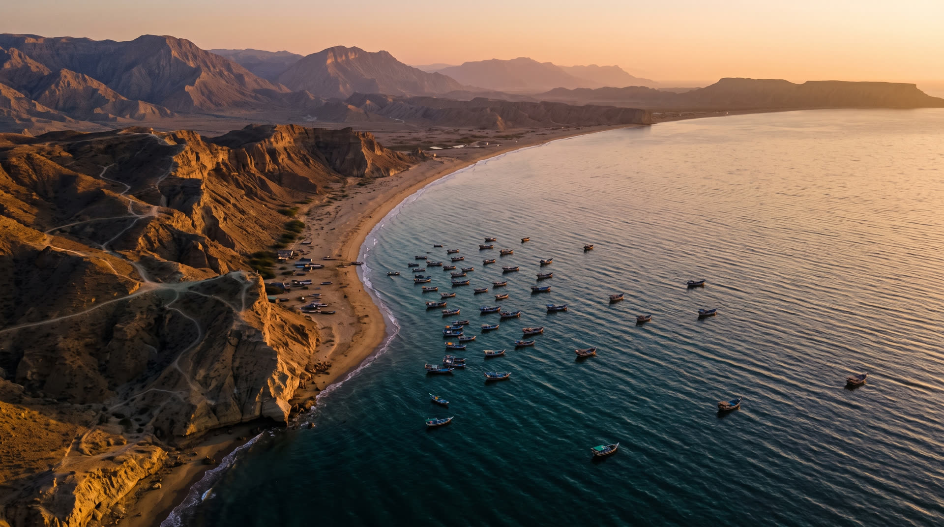
Explore Gwadar
Two thousand years of arrival
Sailors have sheltered behind this hammerhead since antiquity. The city's name means 'gate of the wind'. It has always been a threshold.
A short history of a long coastline
Gwadar spent centuries as a fishing harbour and a waypoint on the Omani sea routes; it remained an Omani possession until Pakistan acquired it in 1958. For decades it kept its slow rhythm of boats and tides. Then geography called its number: the deepest natural harbour on this ocean, a short sail from the Strait of Hormuz, at the exact point where the region's newest trade corridor meets the sea.
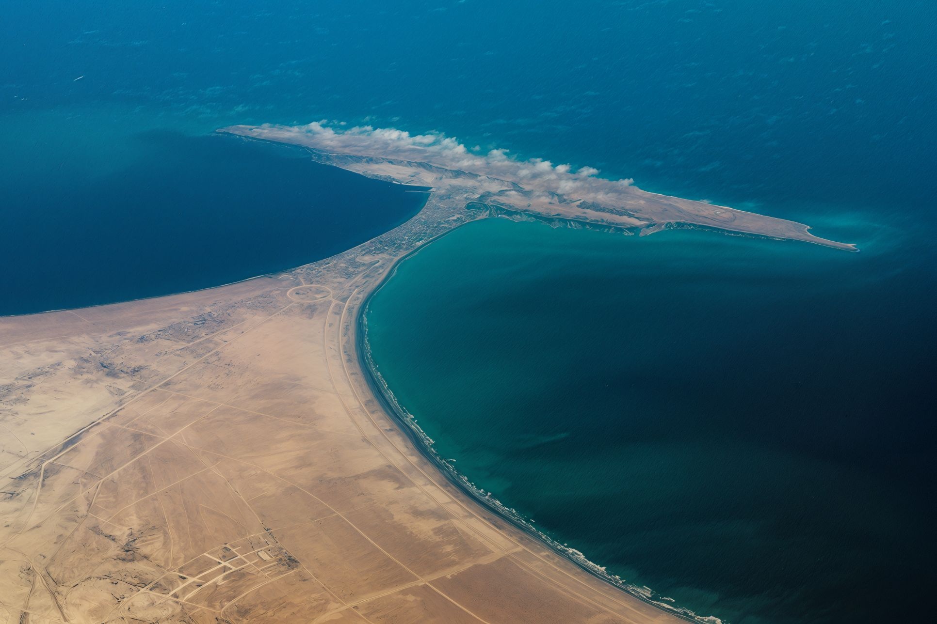
The hammerhead: two bays, one isthmus, and the shape of the city's fortune
Natural beauty, unedited
West Bay's long surf beach, the cliffs of Koh-e-Batil, the desert mountains of the Makran range folding into haze. Sunsets here need no colour grading; the sea does it for you, every evening, in gold and teal.

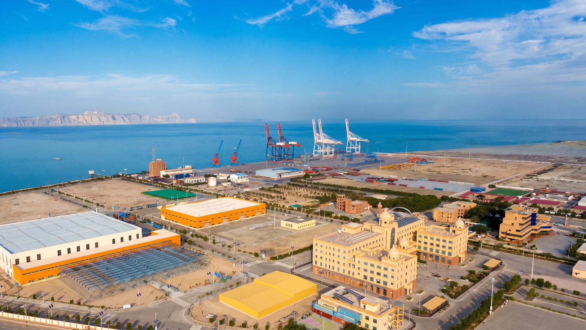
The port: the region's deepest berths
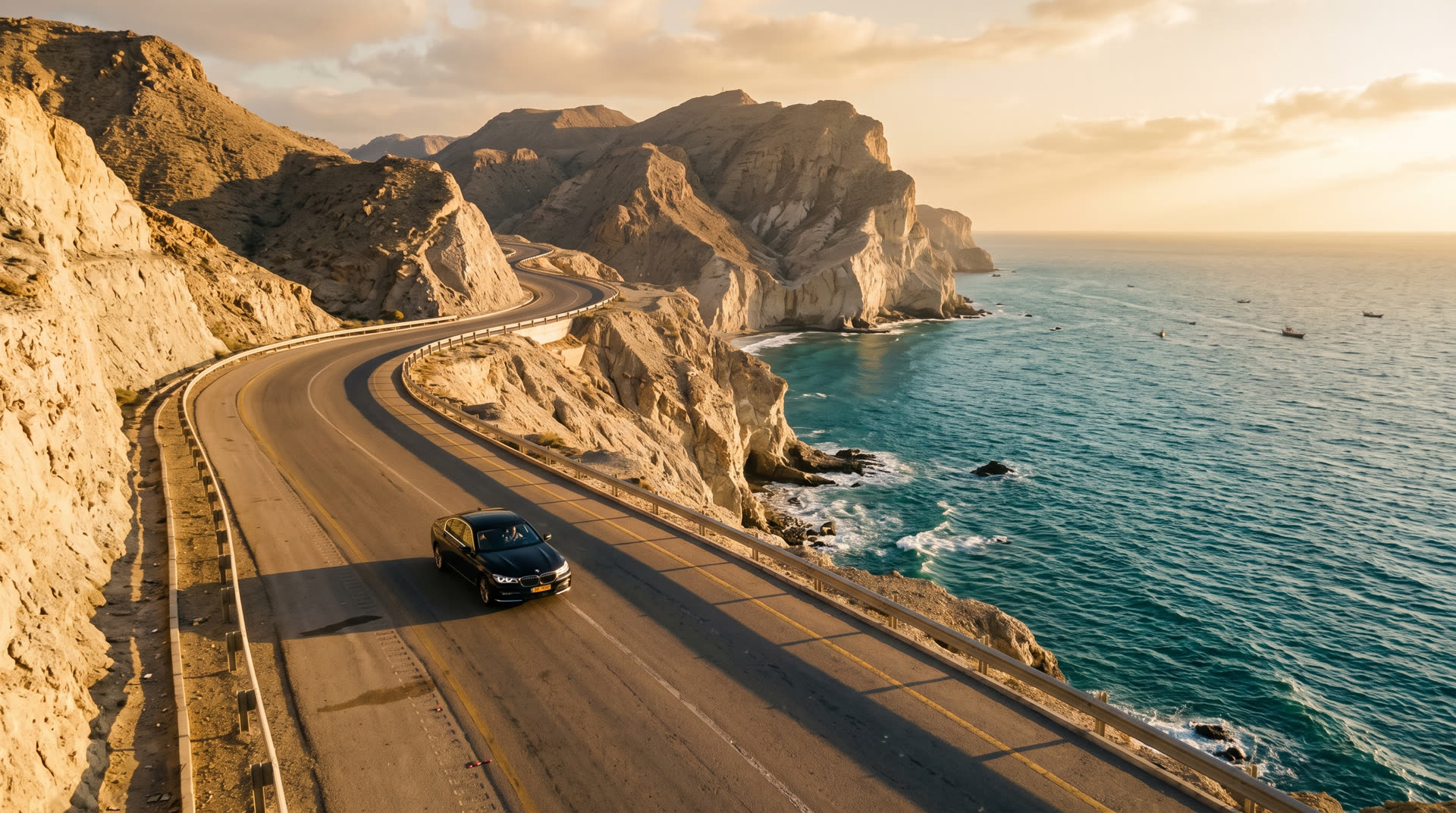
The Makran Coastal Highway, east to Karachi
Why the world is watching
As the seaward anchor of the China-Pakistan Economic Corridor, Gwadar connects western China and Central Asia to the Arabian Sea. Around the port: a free zone, an international airport built to widebody scale, a planned oil city, and a university. Each is a reason to work here. Together they are a reason to live here.
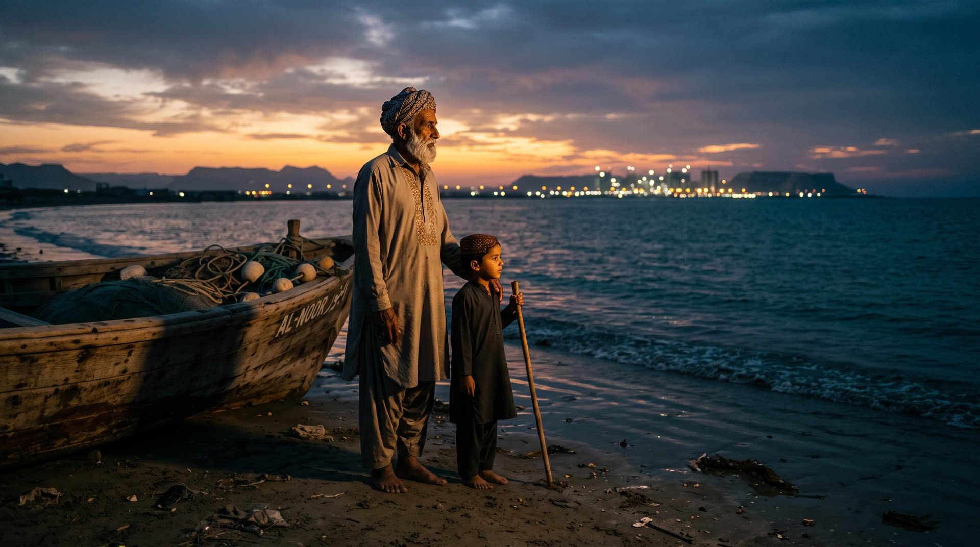
The people of the gate
Baloch hospitality is older than any masterplan. Fishing families still read the morning sea the way their great-grandparents did, and the evening promenade fills with cricket, kites, and tea. Whatever Gwadar becomes, this is what it is made of.